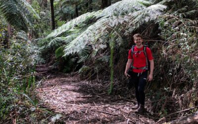
A short 7km walk located in the Whakapapa Village in the Tongariro National Park, the Whakapapanui Track is an incredibly enjoyable walk under the shelter of the forest.
Ideally walked as a return walk starting at either at the Whakapapa Village near the holiday park or at an entrance 3km below the village on SH48, it’s about as easy as it gets in the park.
If you happen to start from the village, within the first 10 minutes the track will branch off to the right at a small junction and head downstream.
Be sure to follow the sign that says Whakapapanui Track and not head left on the Whakapapaiti Track that will take you further away from the village.
It might seem obvious not to do that, but there are plenty of names within New Zealand that are somewhat similar and thus somewhat confusing.
I did hear of a few people who weren’t concentrating, became confused, and took off on the Whakapapaiti Track, so make sure you’ve got your wits about you at this point.
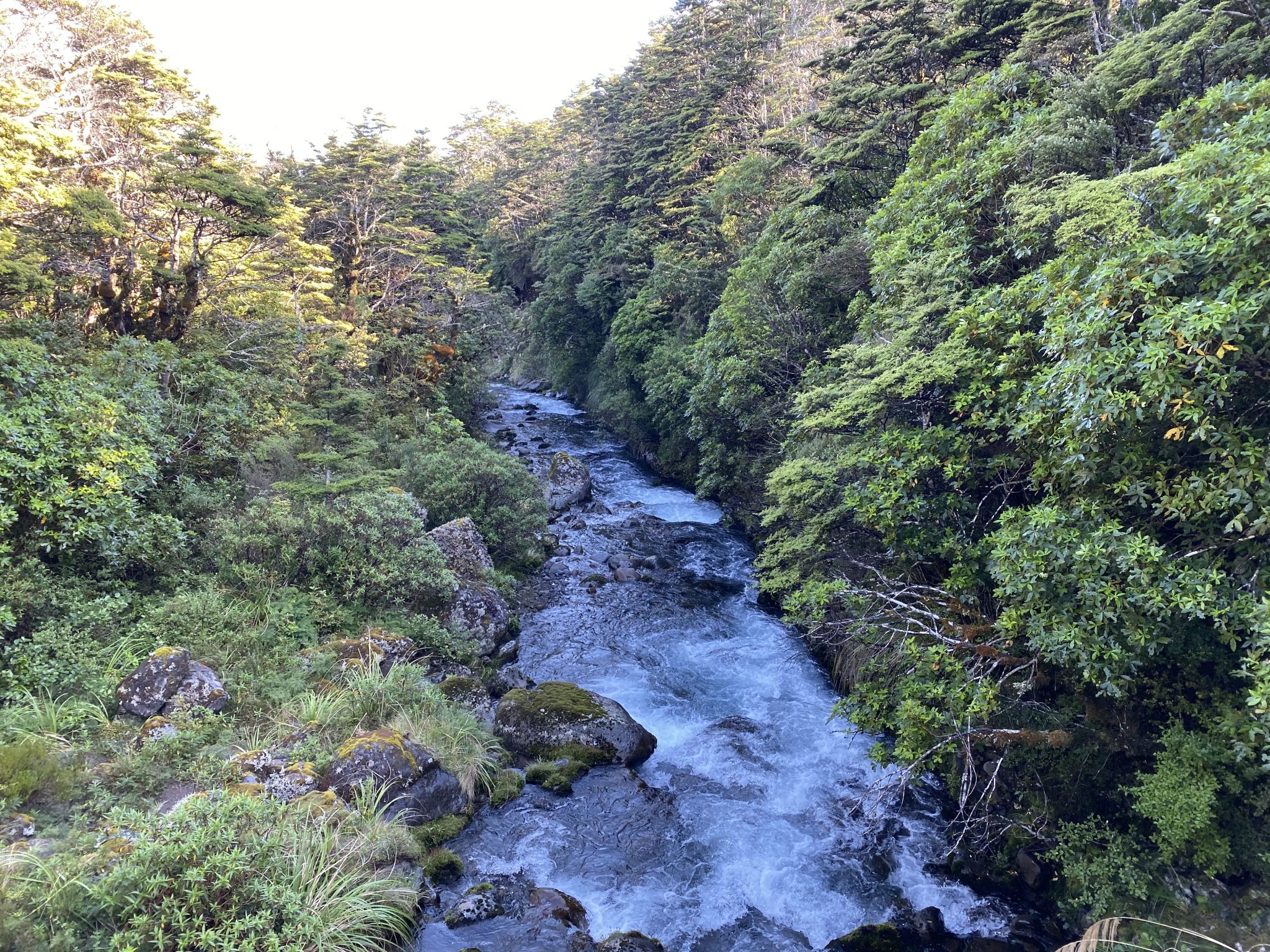
Once you’re past this junction, there’s only one path to take which follows the Whakapapa Stream to SH48.
Along the way, you will notice several opportunities to veer off the path and get a closer look at the river which makes for some really nice photography, particularly on a still morning with good light.
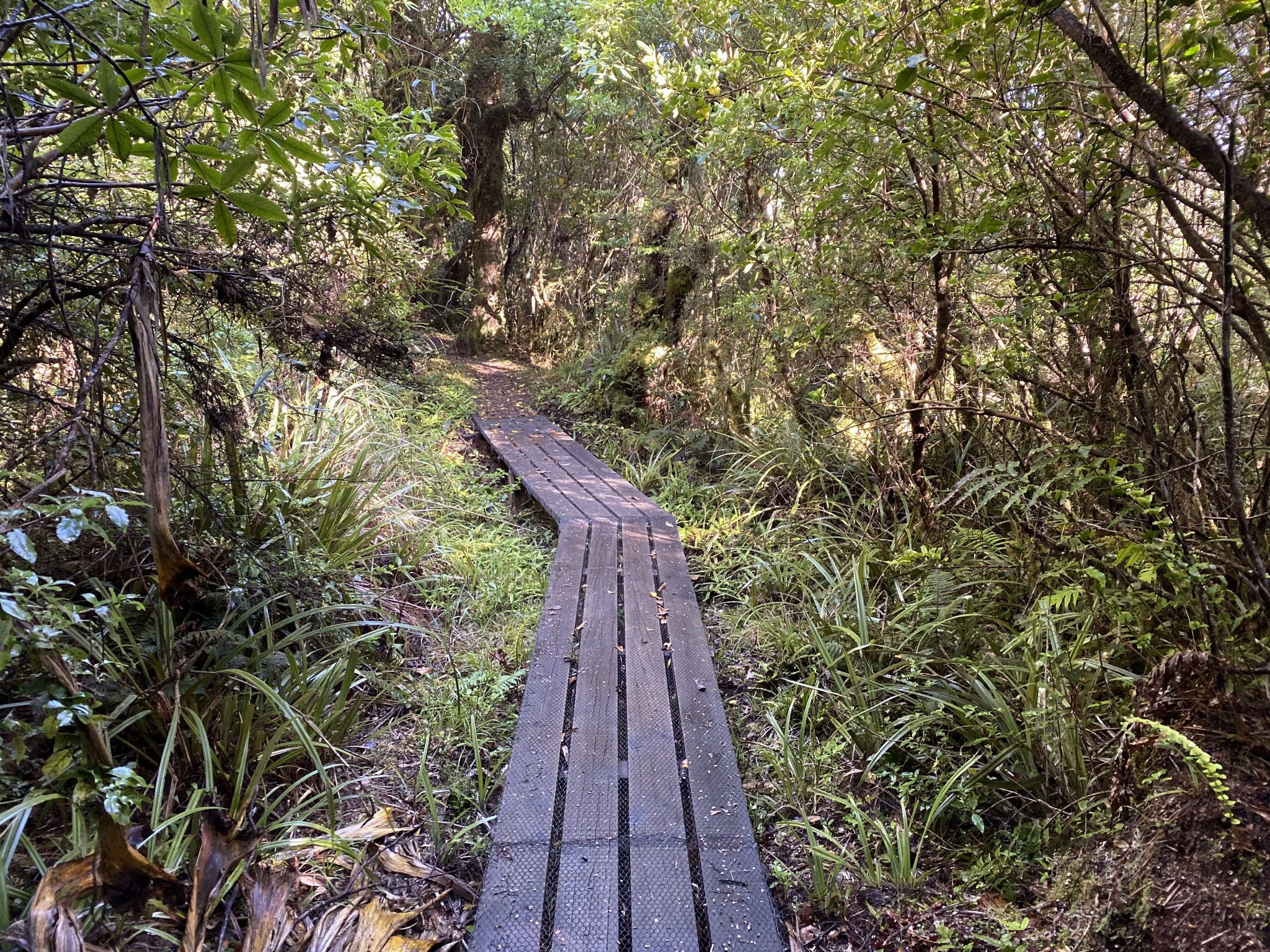
After some time you’ll come across a similar boardwalk to those found on the Waitonga Falls Track in amongst a clearing where you’ll once again get a decent view of Mount Ruapehu.
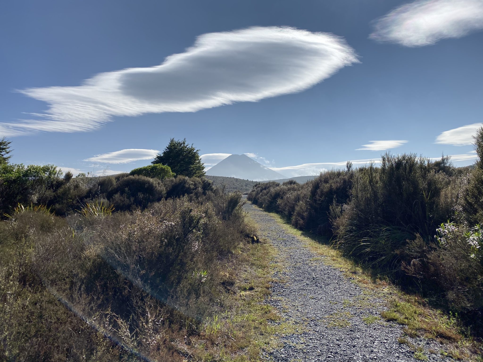
Continue following the path for a short while longer and you’ll find yourself at the other end of the track along SH48.
On a decent day, you’ll be able to get a clear view of Mount Ngauruhoe off in the distance which always makes for great photography.
Without a doubt, the Whakapapanui Track is one of the easiest walks to do in the Tongariro National Park.
I’d say just about anyone would be able to do complete this anywhere between 1.5-2 hours and not break a sweat.
If you’ve got little children with you or if you’re keen on having an easier day whilst enjoying your stay at Whakapapa, then this walk is for you.
Also, I think if you’re an avid photographer it’s the perfect walk to take your time and use some of the side tracks to take some really nice photos of the stream and surrounding scenery.
As usual, if you plan on doing this walk in the future and wish to download this track to use as a reference point, you can do so via our WikiLoc account here.
The Stats – Whakapapanui Track
Length (km): 6.96kms (according to WikiLoc)
Time: 1hr 27mins
Moving Time: 1hr 6mins
Difficulty: Easy (Grade 3)
Maximum Elevation: 1,1150m
Accum. elev. uphill: 152m
Accum. elev. downhill: 152m
Return/Loop/One Way: Return